Platform
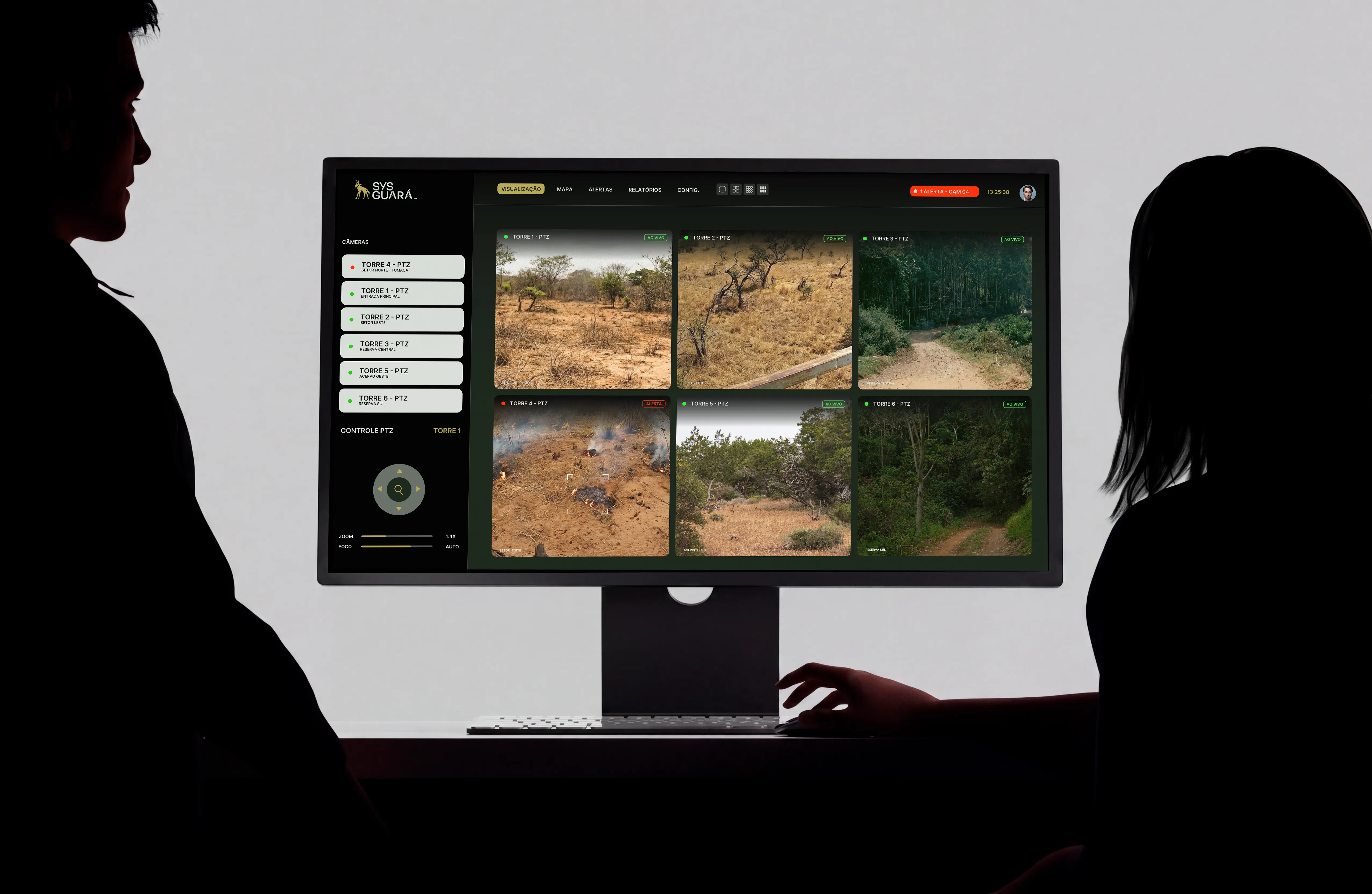
Detection, validation and response on one screen
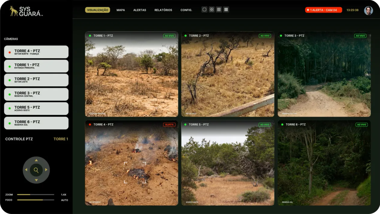
Live mosaic, PTZ control, map and alerts brought together on the monitoring dashboard, with a full history of every incident.
- Live mosaic
- PTZ control
- Map
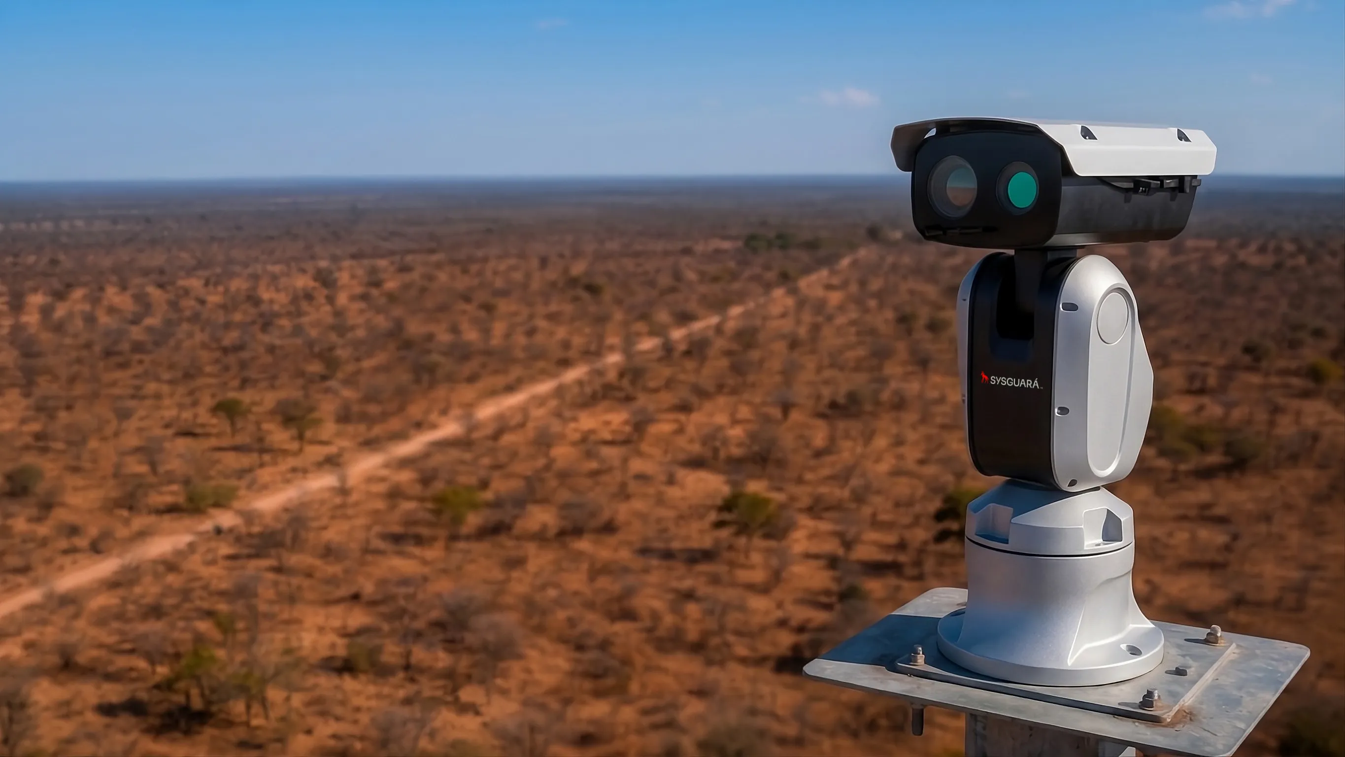
Image analysis, artificial intelligence, maps and real-time alerts to protect forests, industrial sites, people and assets.






Live mosaic, PTZ control, map and alerts brought together on the monitoring dashboard, with a full history of every incident.
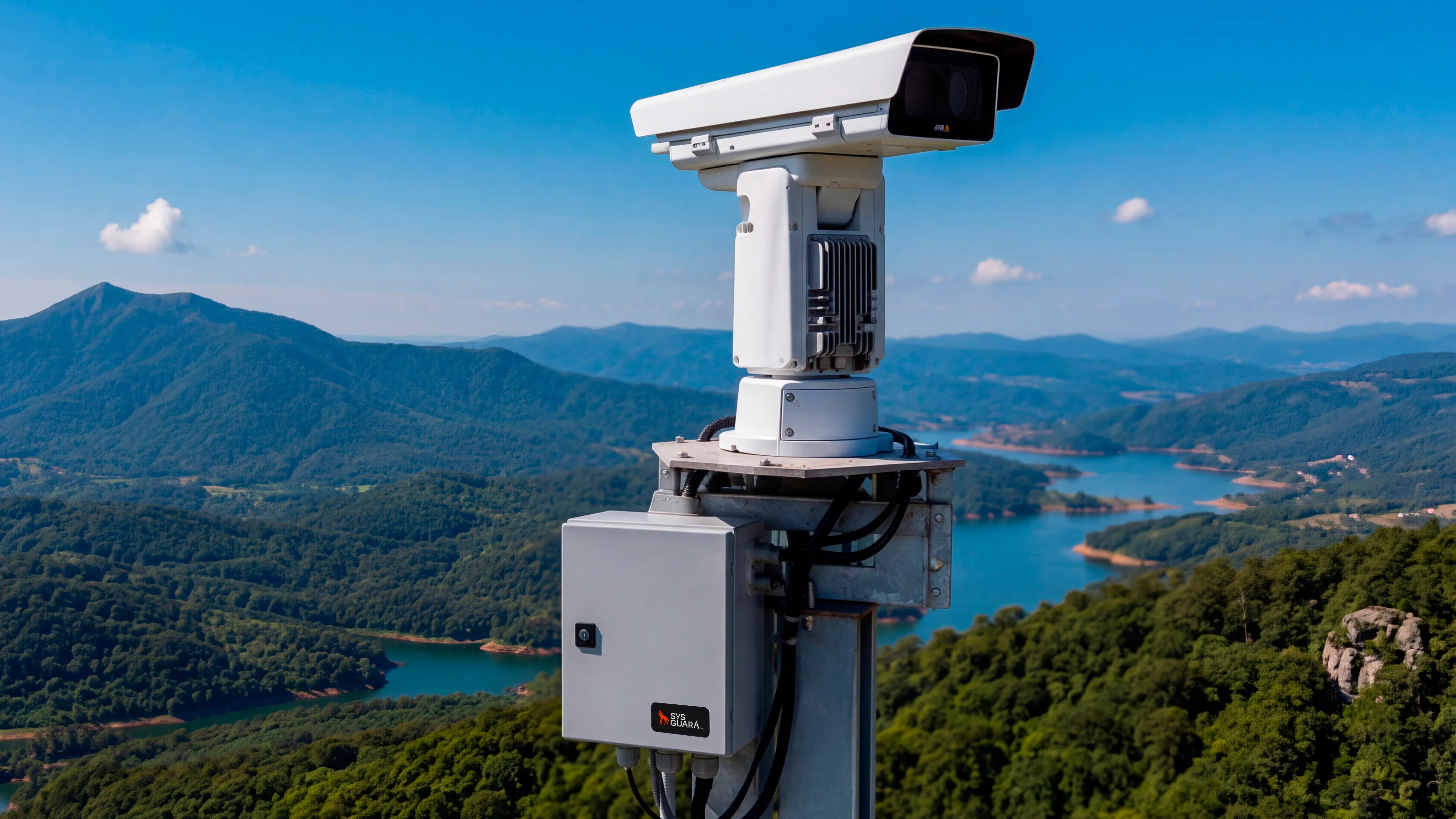
Towers and cameras sized for each area and visibility condition.
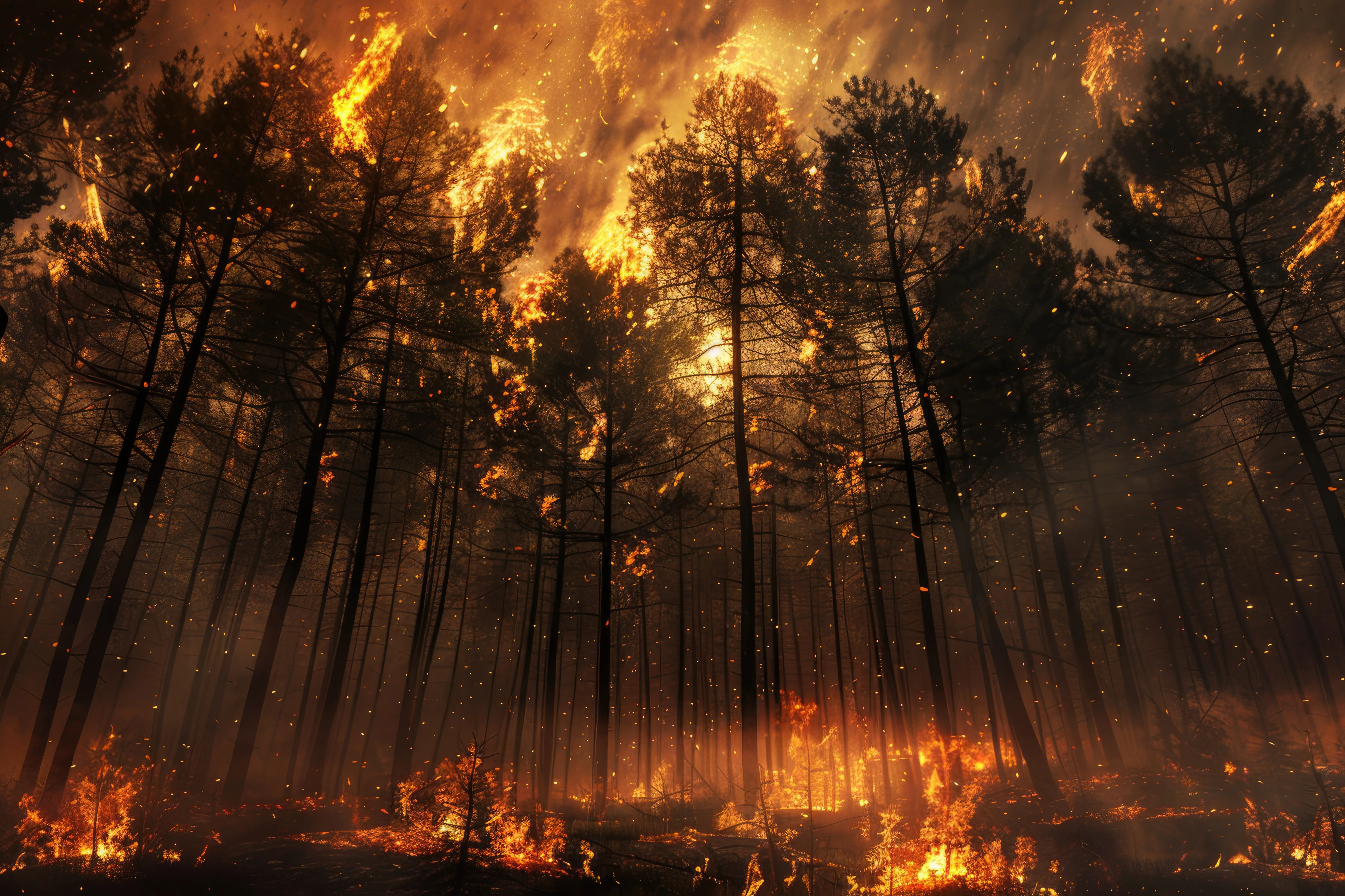
In large areas, spotting smoke early is what separates a contained hot spot from a spreading wildfire.

Connects to weather stations, environmental sensors, towers and communication systems you already have.
Tower-mounted PTZ cameras sweep every sector of the area, sized for the distance and visibility condition of each point. No blind spots and no dependency on manual observation.
AI-powered image analysis examines what the cameras see and flags smoke signals as soon as they appear, cutting the gap between the start of an incident and the team becoming aware of it.
Every incident generates an alert with the visual record, the moment of detection, the location and the coordinates — everything the team needs to verify and prioritize.
The operator confirms the signal through PTZ control, dispatches teams from the map, and keeps a record of evidence, positions and how each incident unfolds.
Weather stations, environmental sensors and IoT devices tie each visual signal to the conditions of the moment, making use of towers, links and communication systems already in place.
It's an early wildfire detection platform. AI-powered image analysis, long-range monitoring, maps and real-time alerts are brought together in one place to protect forests, industrial sites, people and assets.
In any large area exposed to fire risk, where manual observation and blind spots cost response time:
Tower-mounted cameras cover the area's sectors and artificial intelligence analyzes the images for signs of smoke. Long-range monitoring is sized for each area and visibility condition, and the alert is generated as soon as the signal appears.
The alert arrives ready for the team to verify and prioritize, with everything that describes the incident:
Right from the dashboard. The operator takes PTZ control of the camera, pans, zooms and focuses the image to confirm the signal without going into the field. Validation and the actions taken are logged on the incident.
Yes. The platform connects to weather stations, environmental sensors, towers, IoT devices and communication systems, tying visual signals to the position and weather conditions of the moment.
No. The architecture is open and adapts to forestry, industrial and remote areas, making use of towers, links and supervision systems already installed. You scale up without rebuilding your infrastructure.
Yes. Alerts, evidence, positions and how each incident unfolded are all stored, letting you analyze patterns, review response and improve your response plan every season.
Incidents are shared with field teams and operations centers, integrated into the communication and supervision ecosystem your operation already uses.
Yes. The platform scales from a single tower to networks spanning multiple areas, farms, plants and operating units, keeping the same centralized view for the command center.
No. The dashboard was designed for direct operational use: live mosaic, automatic alerts, camera control and map on a single screen, with the information that matters visible at a glance.
The operation is traceable end to end, with control over who accesses what and a log of every action:
Early wildfire detection powered by artificial intelligence, for forests, industrial sites and large properties.
Governance and documents
COM3 OUTSOURCING & PROJECTS LTDA · CNPJ: 41.713.237/0001-05
© SYSGuará™ · All rights reserved. ·
